
Cities, forests and critical infrastructure need more attention and accurate data to act on. We deliver it.
Cities, forests and critical infrastructure keep changing, yet the data about them is usually years old or covers only a patch. Kelluu's airships sense whole areas at a time and keep coming back, as often as you need. So the data you act on is accurate and up to date.
Autonomous missions beyond visual line of sight.
Choose cameras, sensors and communication relays, up to 5 kg in total. One feed into your systems.
Up to 12 hours of sensing from a single airship.
You get the data. We operate and maintain the airships.
Hydrogen powered. No pollution during missions.
At operating altitude, you hear nothing.
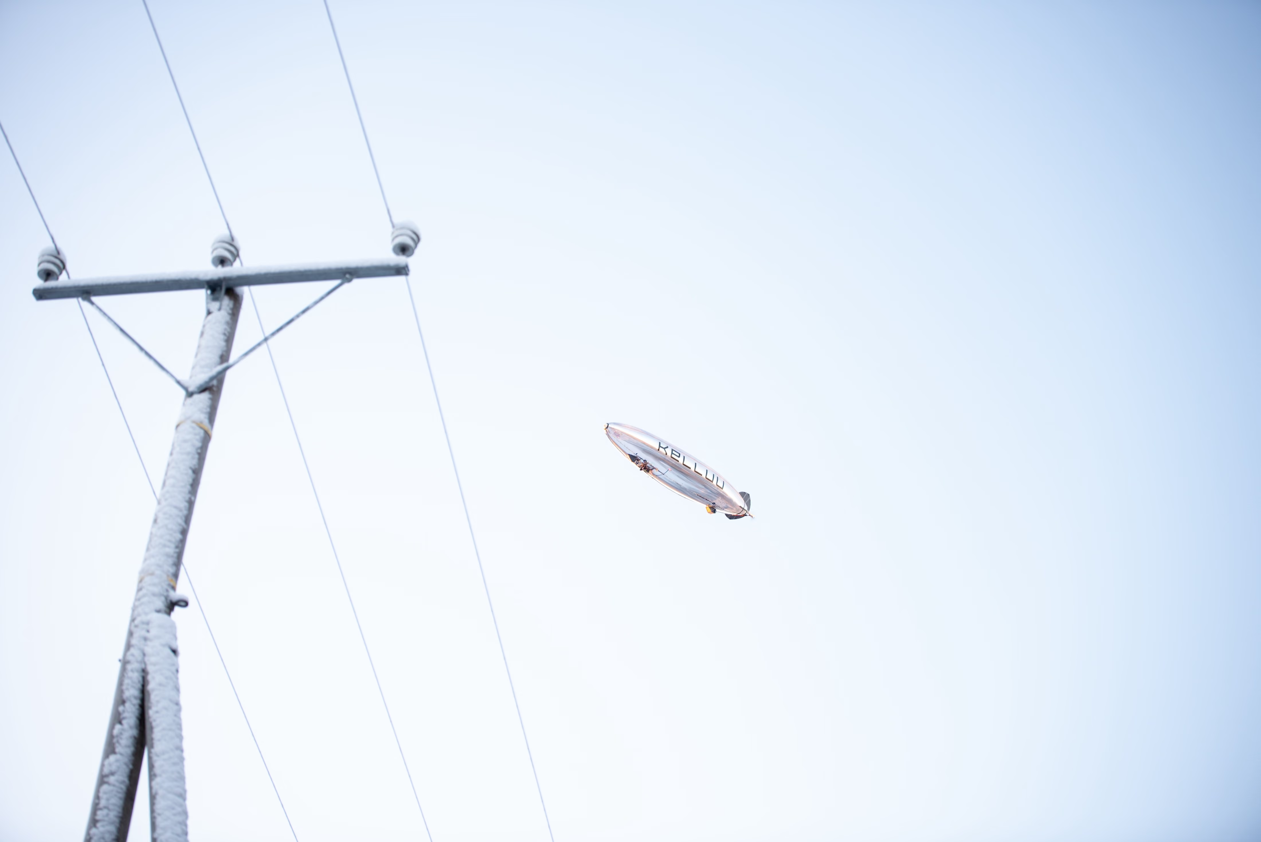
Power and gas grids keep getting longer and older, and patrols, helicopters and drones can't inspect every kilometre as often as the risk demands. Kelluu's airships follow the lines for long distances in one flight and come back as often as you need. So problems such as trees growing too close to the line show up early, while they are still easy to fix.
Forest and environmental programmes need data on whole landscapes, but satellites are too coarse to see single trees and drones cover only a patch per flight. Kelluu's airships map the whole area as one continuous dataset, down to individual trees, even under dense canopy. So your inventory stays current and shows what has changed since the last flight.
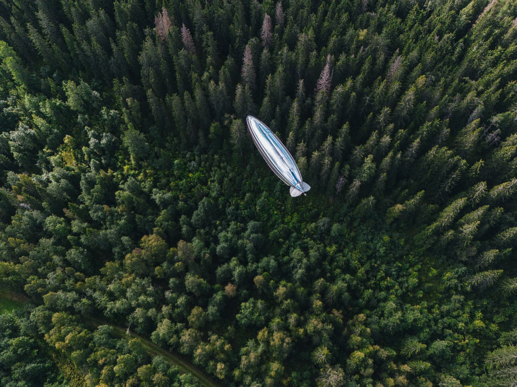
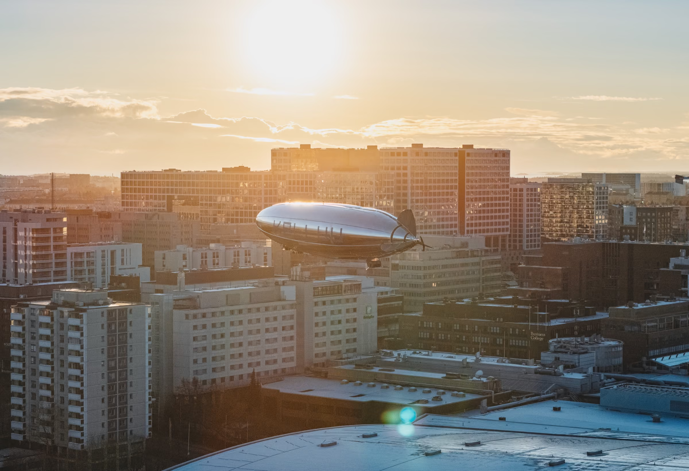
Cities plan housing, heat and flood risk on their digital twins, but most twins are built on aerial data that is years old, and drones in cities are held to single sites. Kelluu has permission to operate in populated areas, so one quiet airship can map a whole district, roofs and courtyards included, and fly it again whenever you need. Your twin then shows what has changed, and where.
Before a fire, Kelluu's airships map the forest down to single trees, so you can judge how a fire would behave in it. During the fire, an airship stays over it and sends live video straight to the incident command, not snapshots at intervals. Afterwards, the airships find the hot spots still smouldering and show what was lost and where to focus.
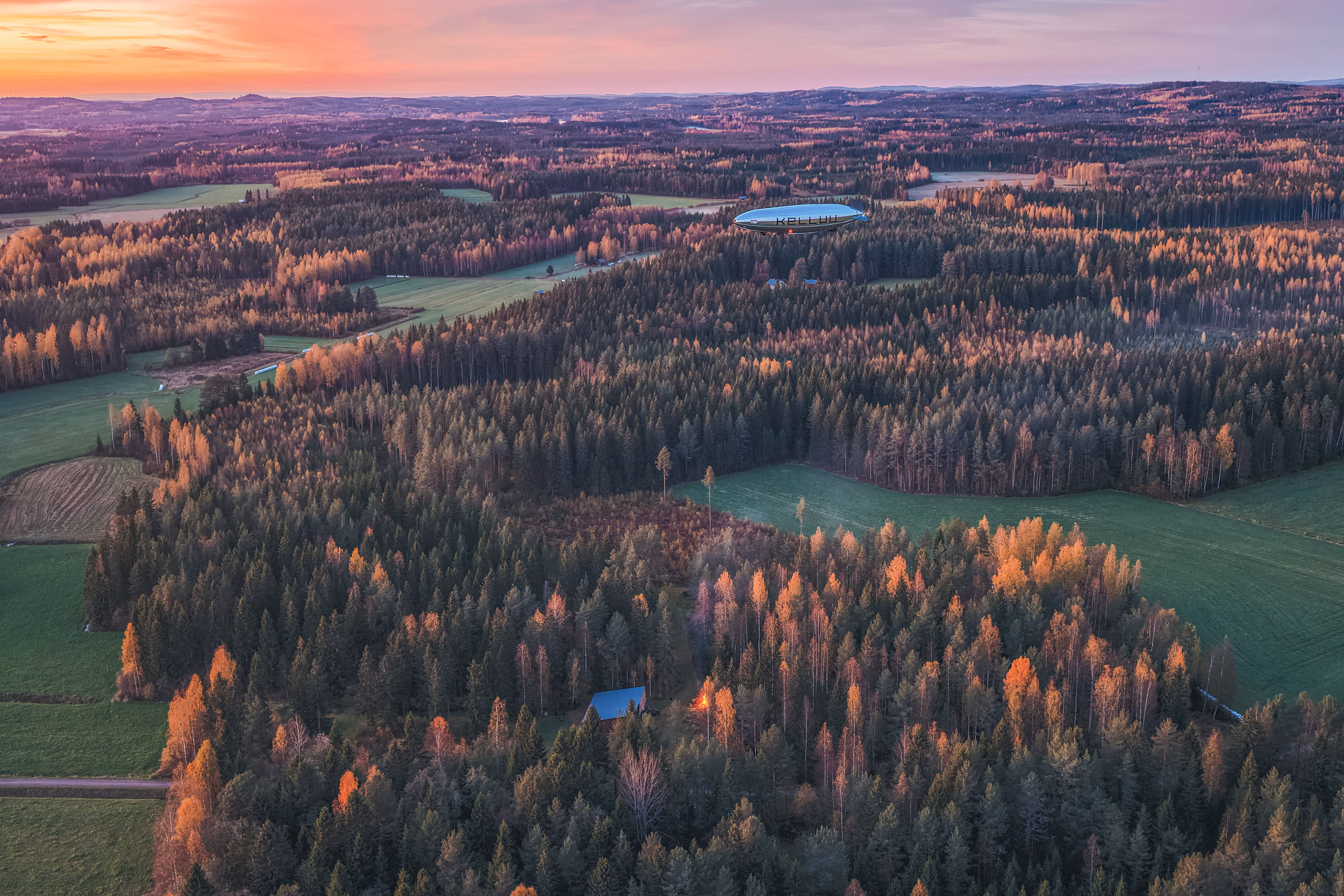
Kelluu delivers data on environments down to a single centimetre. And that accuracy becomes a major factor when future AI needs building blocks for world models. Vague data can't give accurate answers to questions about our planet. Kelluu's data can.
Environments need accurate data, continuously. The development of forests, cities and critical infrastructure depends on it. Get in touch when you want to know exactly what is happening in your environment.
Get in touch