
Kelluu exists so that nothing below the clouds gets past you undetected. Not on land. Not in the air. Not at sea.
A satellite passes over and moves on. A drone has to land before you've seen enough. A sensor on the ground sees only as far as the terrain and the curve of the Earth allow. Kelluu lifts cameras, sensors and communication relays high enough to see past both, and keeps them there for hours, not minutes. Together, our airships hold a persistent ISR layer over the ground you name, so you know what's below the clouds.
You buy ISR as a service, with the data delivered straight into your C2 system. A single autonomous airship stays airborne for up to 12 hours, and by linking several airships in rotation, you get a persistent sensing and communications layer where it's needed.
Autonomous flight continues when positioning is denied, and the sensor moves with the airship rather than sitting at a fixed site.
At NATO's Task Force X, Kelluu flew 21 hours of multi-sensor ISR through icing and GNSS jamming, and received the NATO LANDCOM mission-assurance award. Kelluu's airships operate from −36 °C to +40 °C.
Tell us where you want information from, and what kind. Kelluu's uncrewed airships fly to the area autonomously, beyond visual line of sight. Kelluu builds the links to your command system, maintains the airships and runs the missions, so you can focus on the decisions.
Kelluu has the world's largest airship fleet. The fleet is built in Finland, 60 kilometres from NATO's eastern border. The airship is designed for series production, and so are the factories that build it. The fleet has logged 5,000 flight hours.
You can fit the airship with the cameras, sensors or communications relays you want, with a combined weight of up to 5 kg. What they sense goes securely over STANAG 4817 into Allied C2 systems.
Kelluu was selected for NATO DIANA from more than 2,600 applicants and was one of 15 to make it through to the programme's second phase. Kelluu was the first company in Finland funded by NIF (the NATO Innovation Fund) and the first DIANA company with a NATO Rapid Adoption Service agreement, which fast-tracks collaboration and contracts with military end users. Kelluu plays an active part in several NATO and allied exercises.
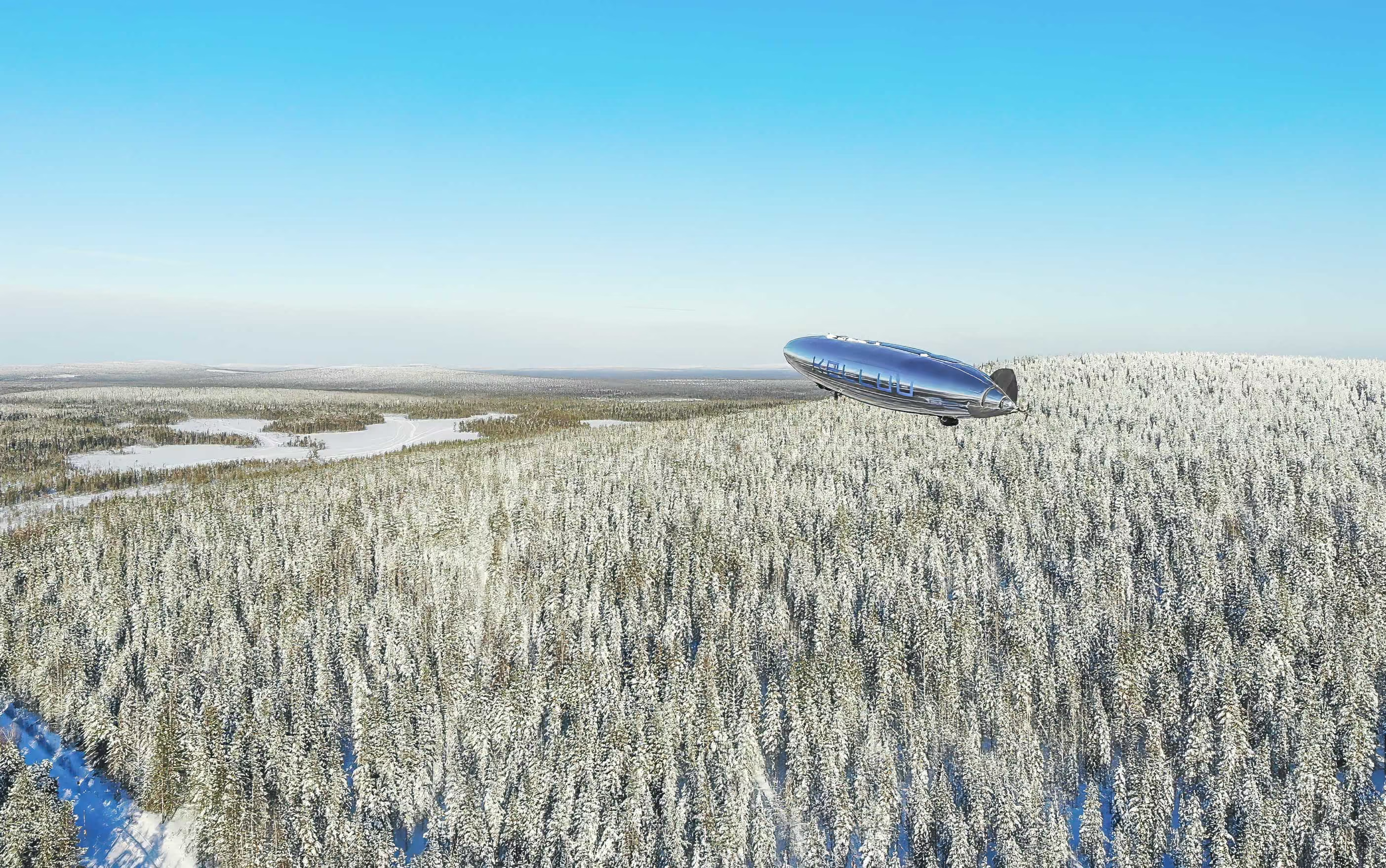
Kelluu is built where things are hard. Finland's harsh conditions have tested our airships season after season, and that has made the fleet a proven platform for the Arctic north.
Our home is on NATO's eastern flank, 60 kilometres from the Russian border, where constant GNSS jamming is nothing new. That is also why we build this technology, to defend our own country and the borders of our fellow NATO members.
Traditional methods adapt too slowly to what today demands. We answer with capability that can be delivered fast, cost-efficiently and at scale. The result is earlier warning, better situational awareness and more accurate mapping of environments.
Our defence has a gap: persistent ISR from below the clouds. We're building that capability and we're always looking for people who see the gap too and want to be part of the change that's fixing it.
Get in touch