SOLUTION
TRANSFORM YOUR ENVIRONMENT INTO DIGITAL KNOWLEDGE
Our environments, critical infrastructure, and security depend on high-quality data. By combining the precision of drones with the extensive coverage of satellites, we offer a cost-effective solution for large-scale, high-resolution data acquisition across all sectors. Our integration of autonomous, emission-free airships, hardware, and software creates a unique ecosystem that sets us apart in the field of aerial data services.
Who are we for?
We offer emission-free aerial data services to governments, organizations, and companies that need high-quality data at a cost-effective price, easily analyzable in their favorite browser, without having to worry about hardware, software, licenses, or regulations.

Governments
Make digital twin of your country. The combination of high-quality data, AI-powered analysis, continuous monitoring, and cost-effectiveness makes Kelluu the ideal solution for all of the state's aerial data needs.

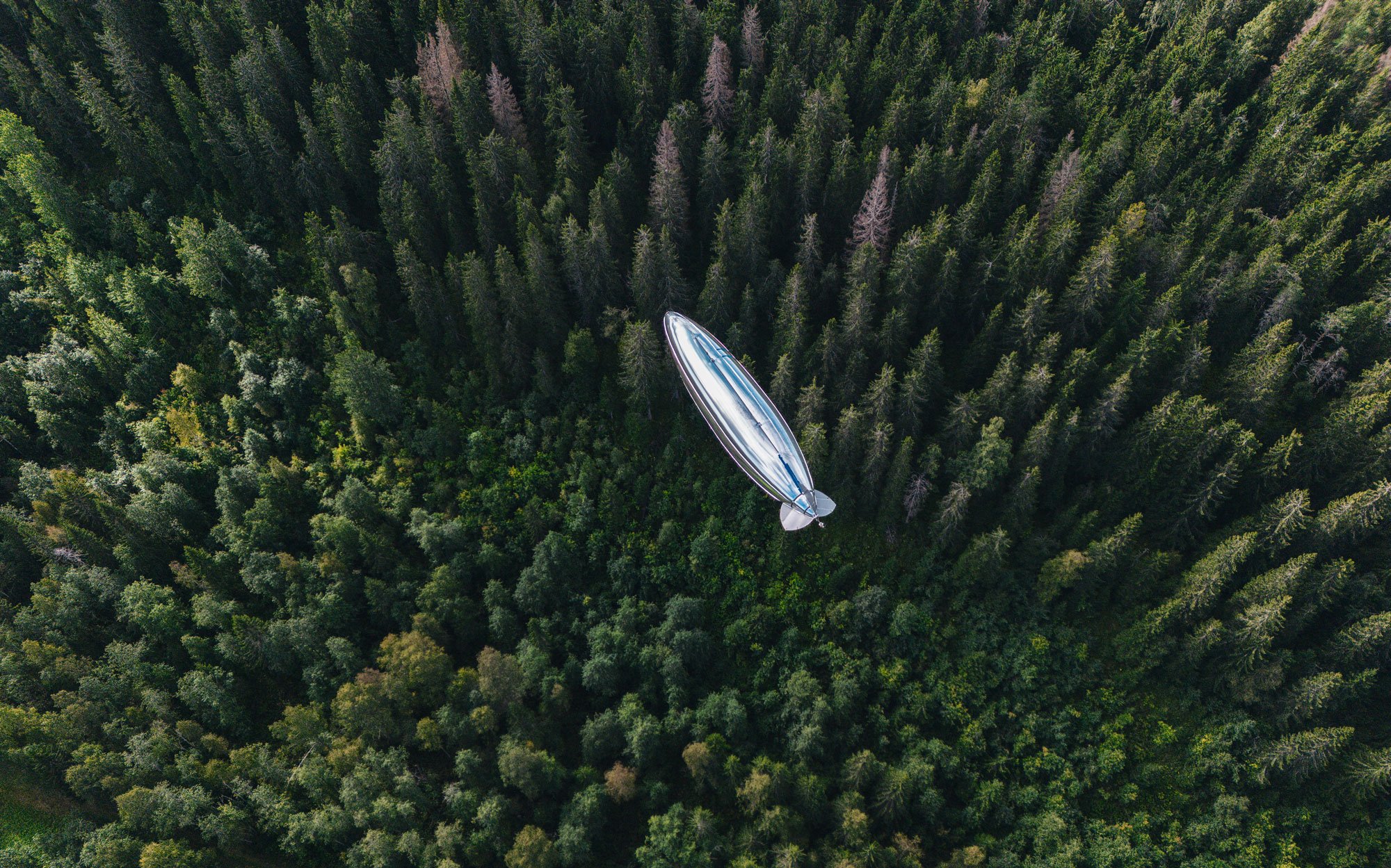
Forestry
Good forest management is about knowing your forest well and making smart, specific choices for its care and growth. Create models where every single tree can be analysized from ground to top.

cities
The foundation of urban planning is to make it a better place for people to live, move, and reside. Whether it's traffic planning, construction, air quality, or maintenance, Kelluu offers a service for comprehensive aerial data covering the entire city.

inFrastructure
Energy, transport, road and for example worksite infrastructures require constant development and monitoring to remain operational and safe for a long time. Kelluu has the right tools to make the most out of the data obtained.

surveillance
Kelluu provides persistent and autonomous monitoring of wide areas, helping to spot risks quickly and keep the environment safe.
Watch "the Future of aerial monitoring" video
See how our technology is used for understanding environmental changes, building infrastructure resilience, and increasing security.
Intelligence from the air
Data-as-A-service
Kelluu provides an automated, end-to-end data processing solution. Our clients can use it easily without special software, security concerns, or regulatory worries. All data can be reached through a web browser and is sent directly using cloud technology.

Dual use
CONTINUOUS SURVEILLANCE. Before calamity strikes or damages escalate, Kelluu offers an early detection system. Be it forest fires, accidents, or security threats, we enable proactive measures, making communities safer and industries more agile.
ADVANCED 3D SPECTRAL MAPPING. Kelluu turns environments into detailed 3D models. This is a game-changer for sectors fighting climate change, striving for sustainable forestry, and those invested in preserving biodiversity.
AI-powered insights
AI accelerates data processing, enabling real-time decision-making. It enhances aerial data analysis by automating image recognition, swiftly identifying patterns and anomalies from imagery. AI also facilitates predictive analytics, forecasting environmental changes or urban development trends.


Make impact anywhere
Our airship stations are easily deployable anywhere in the world and they can be operated from one place. From a single airship station, we can cover an area with a diameter of up to 300 kilometers. For instance, with five airship stations, we can cover the entirety of Germany.
Kelluu Airship
Questions about our airships
When will the airship be operational?
It's operational already, and we are currently operating in commercial missions.
What is the source of energy?
We use hydrogen as a source of energy, which is five times more energy-efficient and carries twenty times more energy onboard compared to commercial drones.
Is it safe? Will it explode?
It is safe, and it won't explode. We have our own patented hydrogen-safe structure to ensure just that.
Can you use it in winter and in cold weather?
Yes, you can. Hydrogen does not freeze and our airships don't need pilot on-site, which makes it ideal for Arctic missions.
For how long does it stay in the air?
Our airships have a proven flight time of 12 hours throughout the year.
What sensors can you use?
You can attach any sensors to our airships as long as they have a maximum payload of 6 kg. We aim to provide the best data to meet our clients' needs.
Can you fly over populated areas?
Yes, we can. We have complied with Europe-wide regulations, and because our operations are silent, we are ideal for data collection in populated areas.
Why airships? How is it different from drones, satellites, or helicopters?
Satellites can't provide the same level of accuracy as we can.
Traditional drones have significantly shorter flight times than ours and require an on-site pilot, whereas we offer autonomous operation.
Helicopters also need pilots and are not the most eco-friendly solution available. We are.
Who is making your airships?
We are.
Kelluu has the northernmost airship factory in the world. This enables us to offer a complete aerial monitoring and data collection ecosystem to our clients as a service. Our comprehensive approach frees our clients from the need to manage software, hardware, permissions, and other flying devices.
SUBSCRIBE FOR KELLUU UPDATES
Yes! Keep me updated about Kelluu’s news and job opportunities.